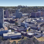
After 6 months of study, negotiations with landowners and public engagement, the final segment of the BeltLine’s 22-mile main trail is starting to take shape. The Northside Study Group released extensive details and renderings at a public meeting on Monday for the BeltLine Northwest Trail Segments that will traverse Atlanta’s Northwest side from Blandtown to the Peachtree Hills neighborhood. The 4.4 mile segment alignment has to negotiate past the Interstate 75, multiple arterials, an active rail line and hilly terrain without the help of an abandoned rail corridor, making the segment likely the most complicated part of the BeltLine’s development to date.
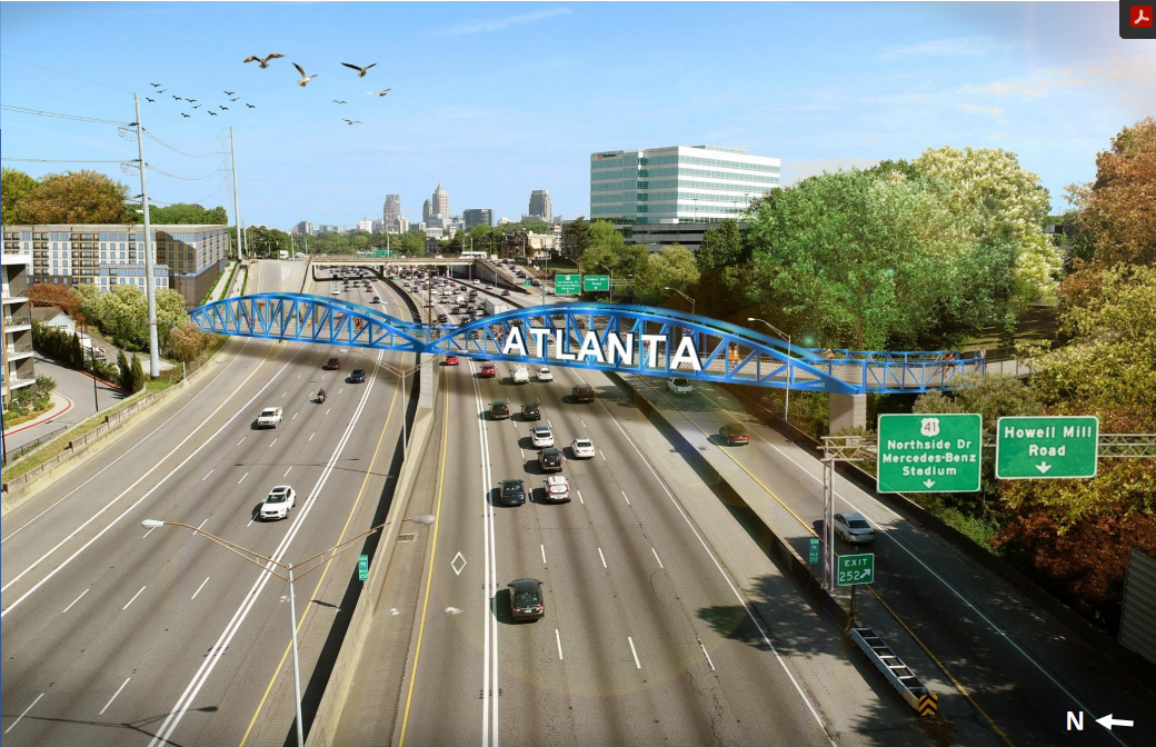
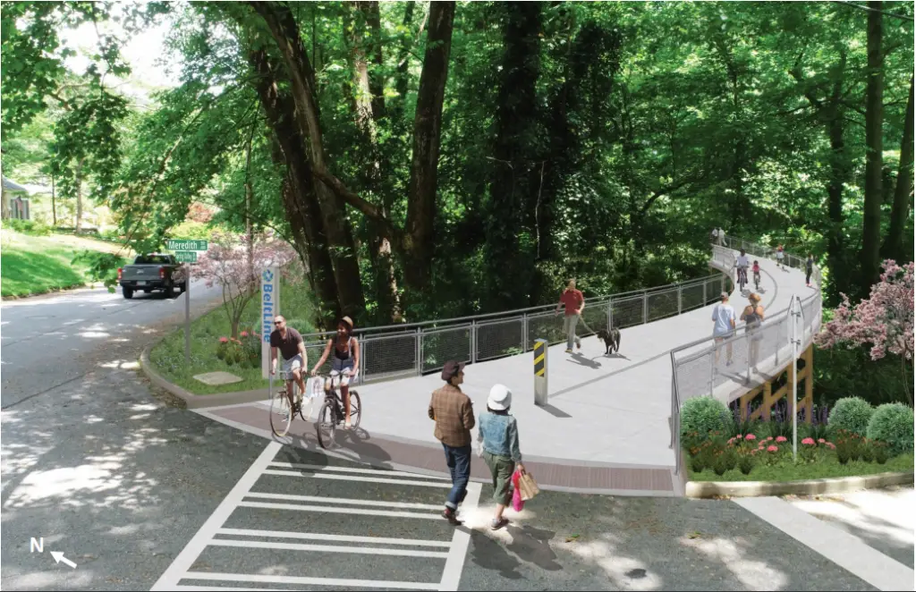
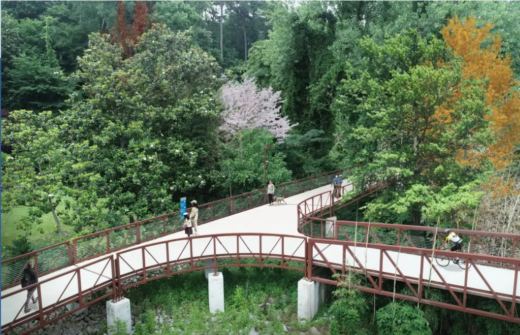
Most notably, the trail proposal includes a bridge over Interstate 75 near Underwood Hills Park, just north of Howell Mill Road. In addition, the presentation depicted several lengthy boardwalk sections traversing difficult terrain through Spring Valley Park and Bobby Jones Golf Course. These elevated sections undoubtedly have contributed to the sections expected high price tag, however the project team have prioritized safe, elevated connections over cheaper but more dangerous at-grade crossings in the project design.
The project team shared their feasibility criteria for determining the trail alignment as the following, ranked from most important to least: trail user experience, safe connection, connection to desired destinations and population, constructability, stakeholder/property owner support, cost, time of completion. With these criteria in mind, the project study team crafted an alignment that delivers the highest quotient of desired attributes. Notably, the trail will connect major destinations such as The Works, MARTA Stations, Georgia Tech, and the future Microsoft Campus in West Midtown. Plans for the BeltLine in these areas have already spurred major redevelopment projects in anticipation of the significant rise in property values along the corridors.
The Northwest Trail Planning study still has roughly 2 months of development before the project heads to the finalization and construction stages. The public will have one more opportunity to contribute to the trail study development in October at another public meeting with the BeltLine Northside Study Group.


Any chance theres a map of this proposed routing? Having trouble visualizing it
https://beltlineorg-wpengine.netdna-ssl.com/wp-content/uploads/2021/07/FINAL_-08-02-2021-Northside-Study-Group-Northwest-Trail-Study.pdf